Our K-2 group has moved from studying explorers to studying maps and mapping. We read several books about maps. We thought about what maps are for and why they are important. We looked at maps that showed many different types of information. We studied the compass rose and learned about directions. We learned about maps of the natural world, the geopolitical world, maps of where animals live, what type of resources places have, and how many people live there. We plotted our own homes on a map or our area.
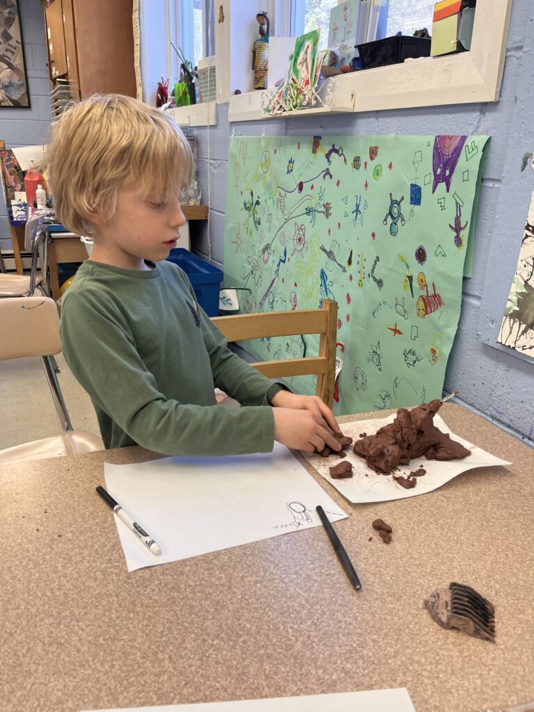
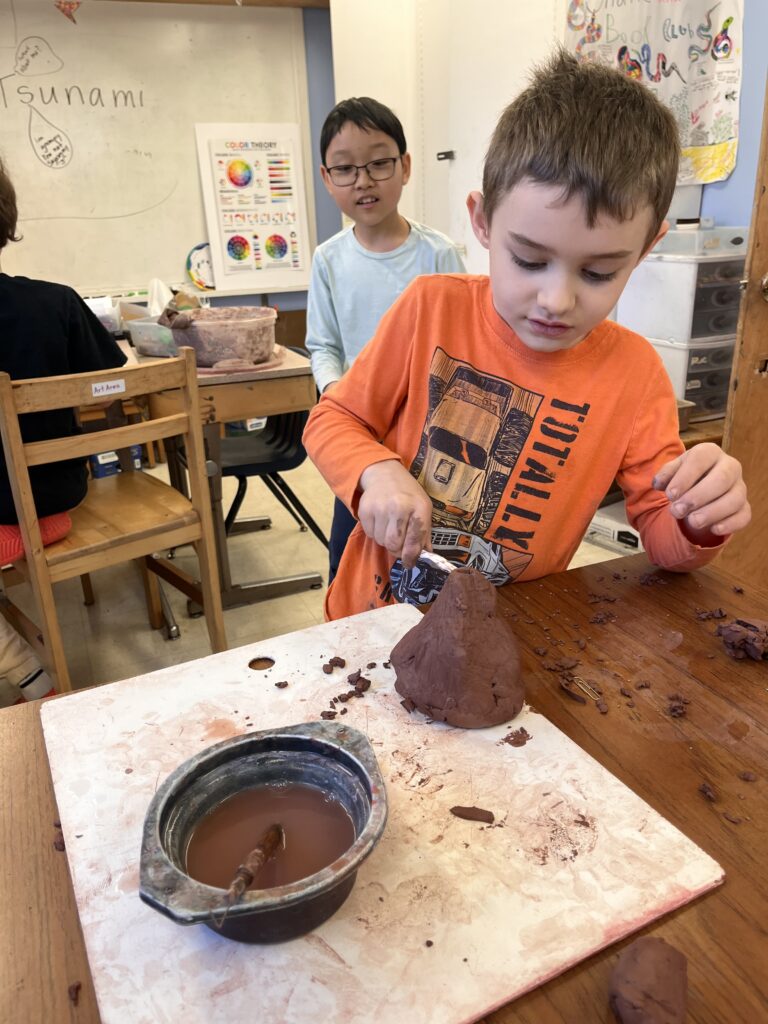
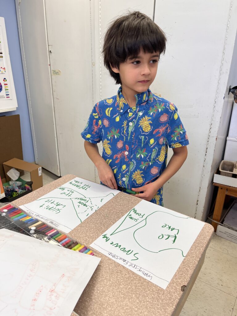
We drew maps and created map keys. We used songs to learn the names of the continents and the oceans of the world. We are now thinking about how we represent elevation on a map. We created land forms out of clay and represented them on paper. We contemplated why mountains were represented differently in the past and learned about topographic maps.